


pointe de la combe Ronsin

CABERMAT
User
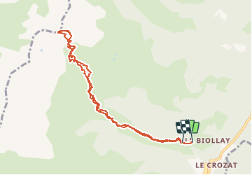

Length
10 km

Max alt
2460 m

Uphill gradient
1193 m
Km-Effort
26 km

Min alt
1280 m

Downhill gradient
1161 m
Boucle
No
Creation date :
2021-03-04 07:11:32.557
Updated on :
2021-03-04 13:39:25.112
3h05
Difficulty : Very easy

FREE GPS app for hiking
 SityTrail
IGN / Geographical institutes
SityTrail Plus
The world is yours!
About
Trail Touring skiing of 10 km to be discovered at Auvergne-Rhône-Alpes, Savoy, La Léchère. This trail is proposed by CABERMAT.
Positioning
Country:
France
Region :
Auvergne-Rhône-Alpes
Department/Province :
Savoy
Municipality :
La Léchère
Location:
Bonneval
Start:(Dec)
Start:(UTM)
298829 ; 5041605 (32T) N.
Comments